The Low East
OR · Difficult
1.4 km simulated section
4.7 km full mapped ski run
Current ski run
Real Slope Racing · Your pick
The line below follows the actual path of The Low East, under its own real conditions. Same rules as the featured ski run. Back to the featured ski run.
The course
This course runs 0.87 mi of a 2.9 mi mapped ski run.
Elevation
6,738–7,135 ft
↓ 50 ft drop · ↑ 431 ft climb · steepest 23%
Today’s snow
Explore a different mapped ski run. Each outline is its real shape, with the simulated section marked on it. These suggestions have a recent forecast, and availability is checked again when you open one.
16 of 16 suggested
OR · Difficult
1.4 km simulated section
4.7 km full mapped ski run
Current ski run
CO · Easy
1.4 km simulated section
6.3 km full mapped ski run
Open simulatorCH · Moderate
1.4 km simulated section
5.4 km full mapped ski run
Open simulatorVT · Moderate
1.4 km simulated section
5.2 km full mapped ski run
Open simulatorCO · Easy
1.4 km simulated section
4.7 km full mapped ski run
Open simulatorBC · Easy
1.4 km simulated section
4.5 km full mapped ski run
Open simulatorHow it works
The course is a real run from the map. It follows that run’s real line downhill and its real elevation drop, and the speed, grip, and spray come from the forecast on the mountain, plus fresh-snow totals where a resort reports them. Powder is soft and slow; a cold dry spell is icy and fast; a warm afternoon turns to spring slush.
A game, not a guide
This is a stylized ski time trial. The gates and rocks are invented, and nothing here says anything about how hard, open, or safe the real run is. Check the mountain’s page, the resort’s own reports, and local avalanche guidance before you ski anything real. See the real The Low East.
Section names like The Cliffs are our labels for the shape of this line, not what locals call it.
More free tools
In your pocket
Free, no account needed. Run maps, GPS run tracking, and your season logbook in your pocket.
Every resort and ski school in your pocket
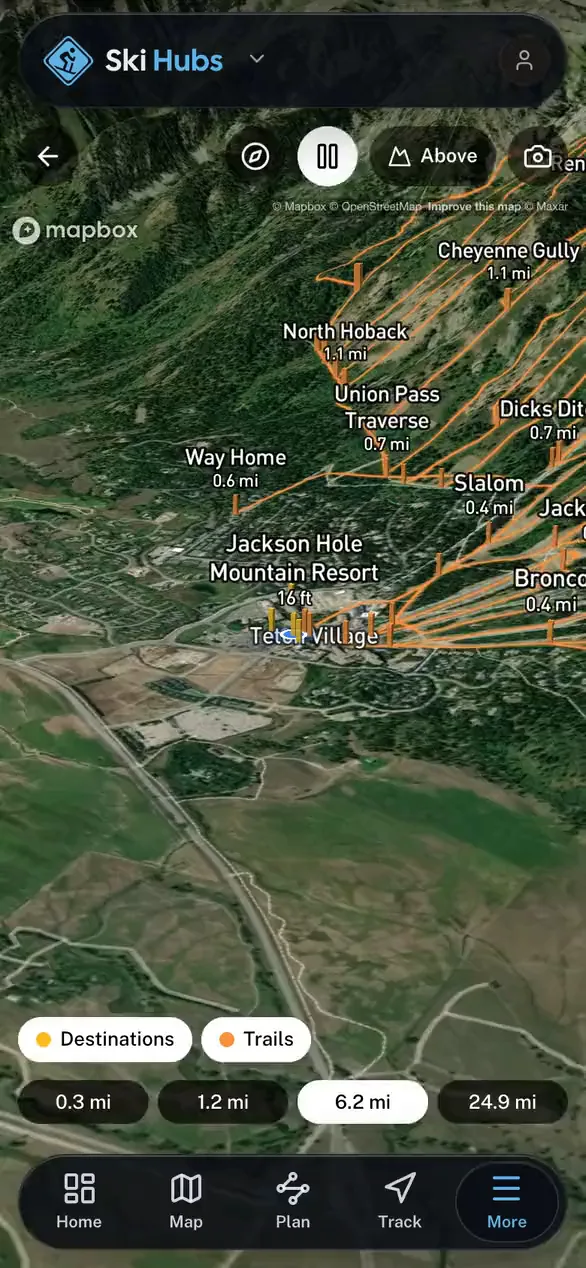
Named runs and lifts drawn on the map
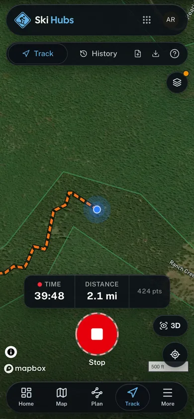
GPS-track every run, hands-free
File a safety plan before you leave the ropes
For Operators
Run your whole mountain operation from one cockpit.
Bookings, your website, your mobile app, and marketing, all in one place.