Routes
Routes worth the climb
Known ski routes, mapped stop by stop, with the season, the permits and what to expect written up. Open any of them in the free planner and make it your own.
11 routes · Free to plan
Elk Mountains Grand Traverse
Crested Butte to Aspen over Star Pass and Taylor Pass, the classic Colorado ski traverse.
10th Mountain Huts: Camp Hale to Fowler-Hilliard
The Resolution Creek road out of Camp Hale to Fowler-Hilliard Hut, an introduction to the 10th Mountain Division hut system.
Camp Muir Ski Tour
Paradise up the Muir Snowfield past Panorama Point to Camp Muir at 10,188 feet on Mount Rainier.
Tuckerman Ravine
Pinkham Notch up the Tuckerman Ravine Trail past Hermit Lake to the headwall on Mount Washington.
Ostrander Hut Tour
Badger Pass across Bridalveil Creek to the stone ski hut at Ostrander Lake in Yosemite.
Methow Valley Community Trail
Groomed nordic skiing from Mazama down the valley to Winthrop and out to Sun Mountain.
Gitalong Road
A 3.9-mile easy ski route at Vail Mountain, mapped from OpenStreetMap.
Solitude
A 3.2-mile moderate ski route at Killington Resort, mapped from OpenStreetMap.
Matterhorn
A 3.3-mile moderate ski route at Zermatt – Matterhorn Ski Paradise, mapped from OpenStreetMap.
Schoolmarm
A 2.9-mile easy ski route at Keystone Resort, mapped from OpenStreetMap.
The Low East
A 2.9-mile difficult ski route at Mt. Bachelor, mapped from OpenStreetMap.
Plan your own route
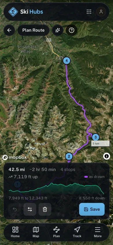
Drop your stops on the map and get the distance and the time it takes. Free to use.
Open the planner