Skip to content
Loading map…
Elevation 630 ft4,695 ft5,328 ft
00.9 mi

About this run

Tamarack is a 0.88 mile green run at Lookout Pass Ski & Recreation Area in Idaho. The mapped route runs from 47.4535, -115.7143 to 47.4460, -115.7140. It drops about 633 ft from a high point of 5,328 ft. Route geometry comes from OpenStreetMap (way 1082419042).

More runs at Lookout Pass Ski & Recreation Area

Browse all runs
In your pocket

Take the whole mountain with you.

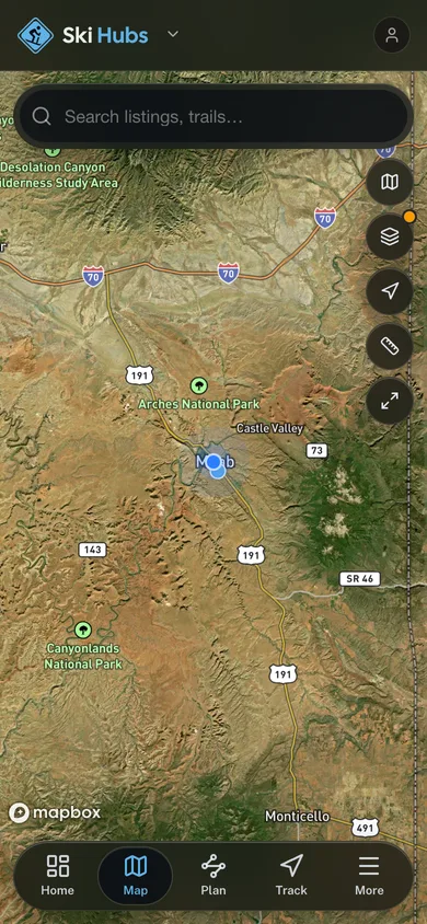
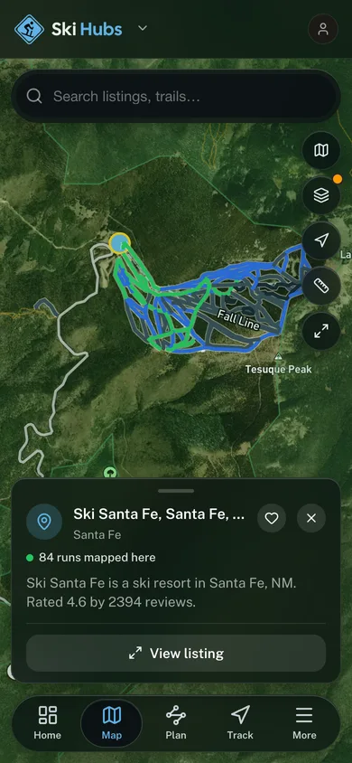
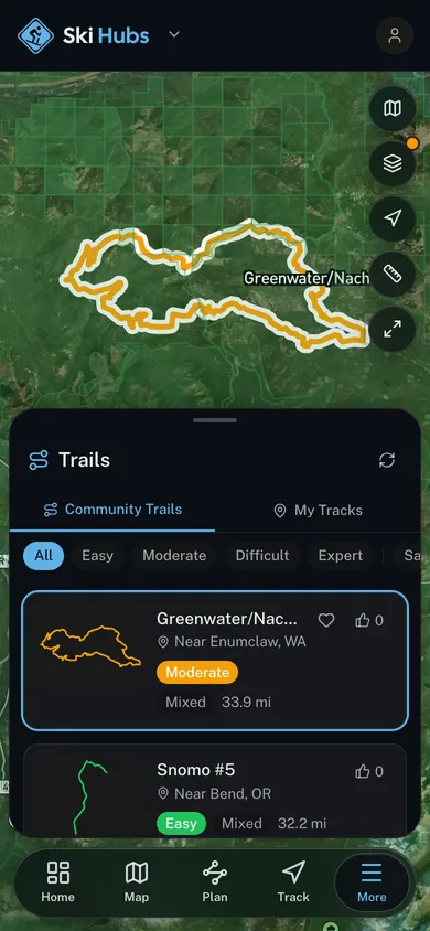
Free, no account needed. Run maps, GPS run tracking, and mountain webcams in your pocket.

  • Every resort and ski school in your pocket

  • Named runs and lifts drawn on the map

  • GPS-track every run, hands-free

  • Live webcams before you commit to the drive

A named trail traced over satellite imagery in the Ski Hubs app

For operators

Run a ski business?
Get on the map for free.

Claim your free listing for a branded page and a spot in the Ski Hubs app, then add bookings and digital waivers whenever you’re ready. No setup cost.