Skip to content

Whistler Blackcomb

Saudan Couloir

Double black0.45 mi
Loading map…
Elevation 1,004 ft6,184 ft–7,195 ft
00.5 mi

About this run

Saudan Couloir is a 0.45 mile double black run at Whistler Blackcomb. The mapped route runs from 50.0933, -122.8864 to 50.0947, -122.8960. It drops about 1,010 ft from a high point of 7,195 ft. Route geometry comes from OpenStreetMap (way 39993406).

Simulator

Run Saudan Couloir in 3D

A quick run down this trail's real line, with today's real conditions setting the pace. The course resets for everyone at midnight UTC, so times are comparable.

Start a run

More runs at Whistler Blackcomb

Browse all runs
In your pocket

Take the whole mountain with you.

Free, no account needed. Run maps, GPS run tracking, and mountain webcams in your pocket.

  • Every resort and ski school in your pocket

  • Named runs and lifts drawn on the map

  • GPS-track every run, hands-free

  • Live webcams before you commit to the drive

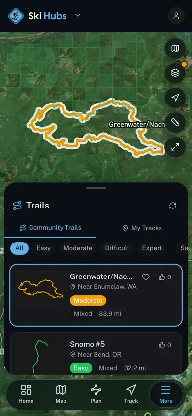
A named trail traced over satellite imagery in the Ski Hubs app

For operators

Run a ski business?
Get on the map for free.

Add your free listing for a branded page and a spot in the Ski Hubs app, then add bookings and digital waivers whenever you’re ready. No setup cost.